

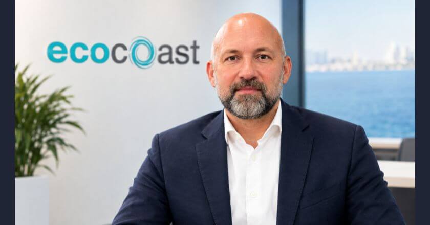
Joachim de Jenlis discusses how the Xylem partnership, advanced sensors, and local engineering support can help GCC operators respond faster to coastal risks
Reliable environmental data can give ports, desalination facilities and power plants valuable time to respond to marine contamination before it disrupts operations. Ecocoast’s partnership with Xylem adds monitoring capabilities to its marine protection and regeneration portfolio, connecting physical measures with continuous insight into water conditions.
Successful deployment also depends on local expertise. High temperatures, salinity and marine fouling place additional demands on instruments, making integration, calibration and maintenance central to dependable monitoring.
Speaking to TahawulTech, Joachim de Jenlis, CEO of Ecocoast, explains the operational value of early alerts, growing demand for continuous monitoring and the potential to integrate connected buoy data into existing port and plant systems. Jenlis also highlights why building long-term coastal records will help operators understand changing conditions and identify unusual events.
Interview Excerpts
What does the partnership with Xylem enable Ecocoast to deliver differently for environmental monitoring projects across the GCC?
It means that we can offer the full package now. Our portfolio already protects and regenerates marine environments, such as silt curtains that contain sediment during dredging, booms that contain oil and debris, reef systems that bring habitat back. With Xylem, we add the monitoring component to that. The other part is the people. Some of the engineers now building these systems for us worked at Xylem for 15 years before they joined Ecocoast. The technology itself has been available in this region for a long time, and anyone could buy the sensors. What was missing was a team on the ground who knows how to specify them for the Gulf region, get them in the water and keep them running without waiting for parts from abroad.
How can real-time monitoring improve the way ports, utilities and coastal developments respond to environmental risks?
Looking at what’s happening in the region right now, oil spills aren’t a theoretical risk anymore. For critical infrastructure, that’s a real problem. Desalination and power plants depend on clean seawater coming in. If contamination reaches the intake, you get reduced output, damaged systems, or in the worst case, a shutdown. With periodic sampling, you’ll find out the operational way. Output drops or someone on a boat sees a sheen. By then, it’s already inside the process, and the only question left is how much damage was done. With a hydrocarbon sensor close to the intake, it works the other way around. An alert comes in, and someone can close the intake, switch source, or get containment before it reaches the plant. That’s what real-time monitoring does. It doesn’t prevent incidents, but it gives you the time to respond to them.
Which marine and coastal applications are seeing the strongest demand for continuous environmental intelligence across the region?
We are seeing the strongest demand from plants at the moment, so desalination and power. If a plant supplies a city, you cannot afford an unplanned shutdown, and a monitoring system costs a fraction of a single day of lost production. Then ports and terminals, for similar reasons, and coastal development. Dredging and reclamation come with environmental permits and conditions on water quality. If you cannot show what the water was doing, work can stop.
How important are local integration, maintenance and technical support when deploying environmental monitoring systems in GCC conditions?
Very important. It’s the difference between a system that works and one that worked. Conditions here are harder on instruments than people expect. Water above 35°C for weeks at a time, high salinity, and fouling that can affect a reading within weeks. It comes down to time. A part shipped from Europe or the US takes weeks, plus customs. From Umm Al Quwain or Yanbu, it’s days instead.
What role will technologies such as connected buoys, advanced sensors and remote monitoring platforms play in the future of coastal protection?
They’re already doing it, that’s the thing. A buoy today is a platform rather than a single instrument. It carries water quality, currents, waves, tides and weather, streams live, and you can open it on your phone from anywhere. Ten years ago, that was a research setup. Now you simply specify it. Where it goes next is integration. At the moment, a client looks at a monitoring dashboard separately from everything else they run. That will change, and the data will feed into the systems operators already use to run a port or a plant. The other part is the record. Northern Europe has coastal data going back decades, which is why an operator there can say that a summer is unusual, or that a bloom is early. Here, most sites have no continuous record at all, simply because nobody was measuring. You cannot spot something unusual without knowing what normal looks like for that site, and normal is shifting as the Gulf warms. So, every site monitored continuously now is building something you cannot buy back later. Our role in that is a practical one. Put reliable systems in the water, keep them accurate, and make sure the data means something.
Source: Tahawul Tech